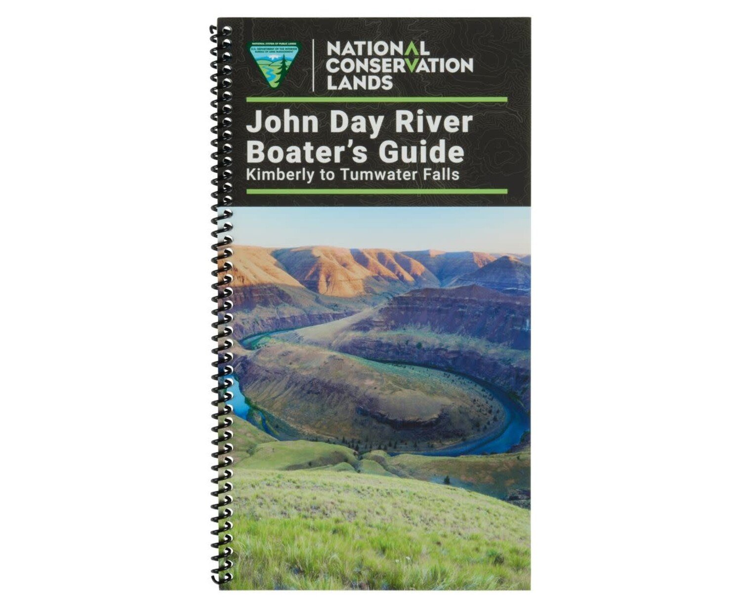
John Day River Guide Book
$19.95
Availability:
In Stock (4)
Check Other Locations Availability
Available in store
CloseThe John Day River Boater’s Guide includes large, full-color maps and detailed information about the John Day River, from Kimberly to Tumwater Falls.
- Full-spread, detailed color maps provide information on landings and campsites. With book in hand, maps read from bottom to top to match the downstream flow of the river.
- Boaters can reference this guidebook for information on camping and amenities, restrictions, regulations and river etiquette.
- Detailed description and satellite imagery of Clarno Rapids.
- Includes history of the John Day River and information on geology, wildlife and plant life.
- The spiral-bound format makes it easy to turn pages and fold the book as needed.
- High-quality waterproof paper prevents ink from smearing and is tear resistant to keep your guide intact throughout your trip.
| Subject Matter: |
|
|---|---|
| Subject Location: | West |
| Author: | Bureau of Land Management |
| Copyright: | 2024 |
| Size: | 11" x 6" |
| Pages: | 67 |
| Water Resistant: | Yes |
| Features: |
|