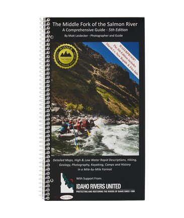
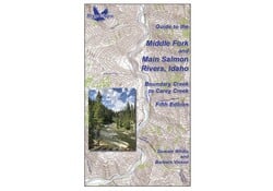
Middle Fork & Main Salmon River 5th Edition Guide Book
Available in store
CloseA must-have guidebook for your trip down the Salmon, the RiverMaps Guide to the Middle Fork and Main Salmon Rivers features USGS maps, historical insights and excellent descriptions of river features. Plus, it’s waterproof and durable to boot.
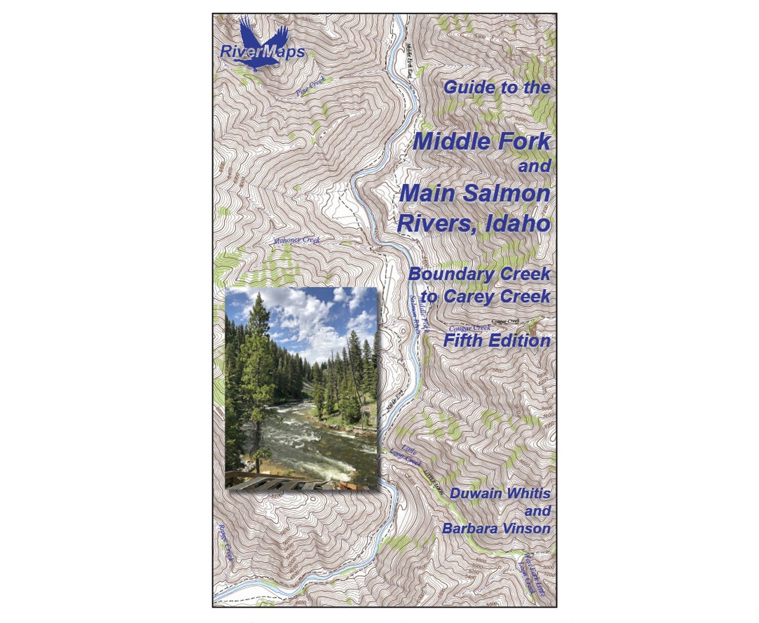
- This book covers the entire permitted portions of Idaho’s Salmon River, from the Boundary Creek launch site on the Middle Fork to the Carey Creek take out on the Main Salmon.
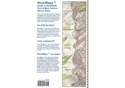
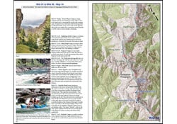
- Spiral bound format with full color topo maps on right side and complete text descriptions on the facing page.
- Lie-flat design for ease of use when rafting.
- Color photos highlight some of the river’s more famous attractions and features.
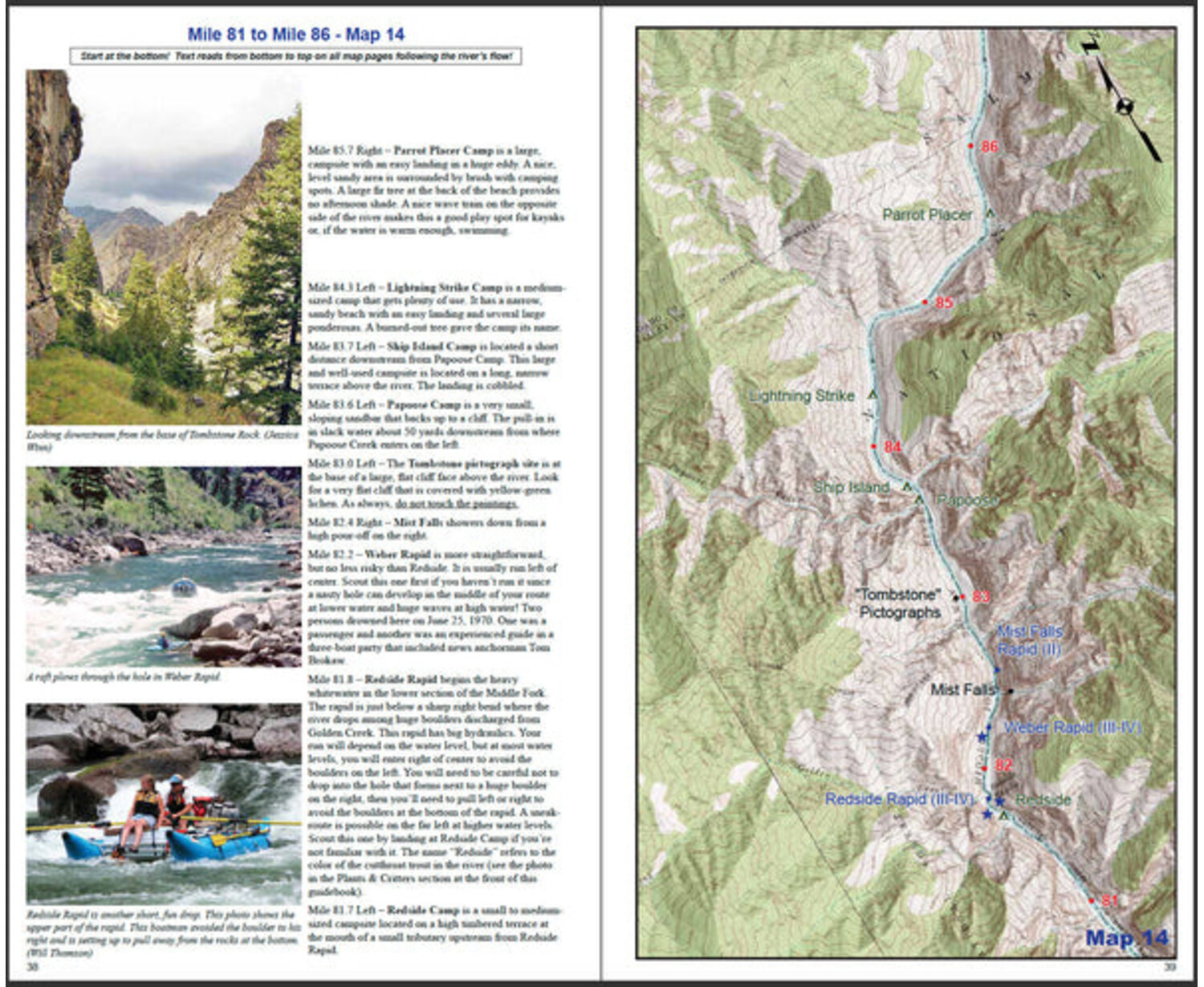
- Excellent mile by mile information on rapids, campgrounds, geological features, historical sites and reference points.
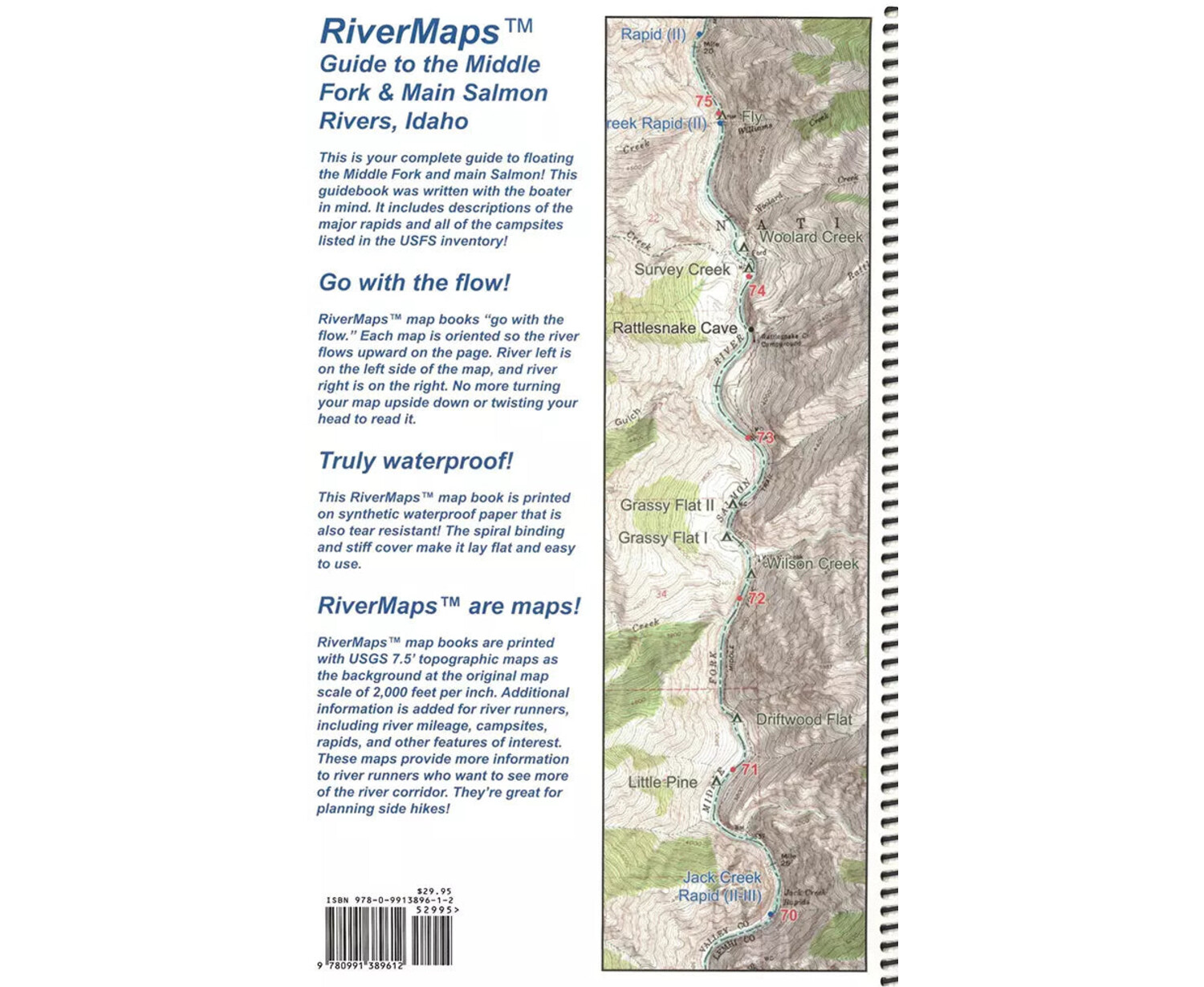
- The topo maps are the same scale as the original USGS maps.
- Relief shading of the topo map offers a much clearer perspective of the terrain.
- High-quality waterproof paper prevents ink from smearing and is tear resistant to keep your guide intact throughout your trip.
- The book lists numerous side hikes and interesting features away from the river, info pages on frequently asked questions about boating the river, area geology, archaeology, resources protection, flora and fauna.
Severe debris flows occurred in August of 2022 and 2023 following heavy rains on fire denuded slopes, altering the river significantly between miles 2.9 and 5.2. Please note the following revisions, which will be incorporated in the next printing:
MAP 1:
Mile 4.6 – A long rapid known variously as Hells Half Mile, Second Slide, or Second Narrows Rapid extends for most of the next quarter mile through a bedrock gorge with occasional low, broken walls. The top of the rapid was constricted to a channel against the left bank by the August 2023 blowout of an unnamed tributary on river right. Wood at the bottom of the rapid will likely be removed by high water in 2024. Scout on the right from the debris fan.
Mile 3.9 - Ramshorn Rapid was once located where the river is constricted by low cliffs and rocks (the Ramshorn Narrows) on both sides, and the river flows over boulders. This rapid was completely submerged by the August 2022 blowout of Ramshorn Creek immediately downstream on river left that washed the footbridge and a mountain of rock into the river. High water in 2023 eroded the right bank and part of the debris fan, opening a new channel and creating a new, easier rapid.
Mile 3.0 – Sulphur Slide Rapid was remodeled by the August 2023 blowout of an unnamed tributary on river right. The river was confined to a narrow channel of fast water against the steep left bank. Wood at the bottom of the rapid will likely be removed by high water in 2024. Scout on the right from the debris fan.
Mile 2.9 Right – Gardell’s Hole Camp was submerged by the water ponded by the August 2023 debris flow at the top of Sulphur Slide Rapid.
MAP 2:
Mile 5.2 – The Velvet Falls Rapid of old is gone as of August 2023 when a debris flow from Velvet Creek buried it, pushing all of the flow into a steep channel left of the “pyramid rock”. All flow previously went right of this rock except at very high water levels. Wood throughout the rapid will likely be removed by high water in 2024. Scout on the right from the debris fan.
Mile 5.1, Left - Spike Creek blew out in August, 2022 similar to Ramshorn Creek at mile 4.0, pushing the current to the right side of the river channel a short distance above Velvet Falls. The rapid is read-and-run past the debris fan.
Our Guide Books
Our spiral-bound guide books are offset-printed on plastic pages. The covers are plastic card stock. The entire books are waterproof and tear resistant (but not indestructible!). Our guide books include mile-by-mile descriptions of campsites, rapids, and points of interest and include many photographs.
Care of Your Books
You can write on dry plastic pages with an indelible marker like a Sanford Sharpie. If your offset printed map or guide book gets wet, don't worry! It can stay wet without damage. You will eventually want to dry it out with a rag or by turning and air drying each page. The pages usually won't stick, but... Don't cook your books! We have seen some books with pages that stick, especially where the ink is heavy over photographs. The only way we are able to reproduce this effect is to let a wet book dry for an extended time in the hot sun. You should avoid leaving your book in the direct sun or a hot vehicle or trailer for any longer than necessary. Day-to-day use in the sun while on the river has never been a problem that we've seen. Don't freeze your books! We have seen books that were wet and frozen lose some of their ink and underlying coating that holds the ink to the plastic page. If your book is wet and frozen, we suggest either letting it defrost or dipping it in the river for a minute to melt the ice and allow the pages to separate.