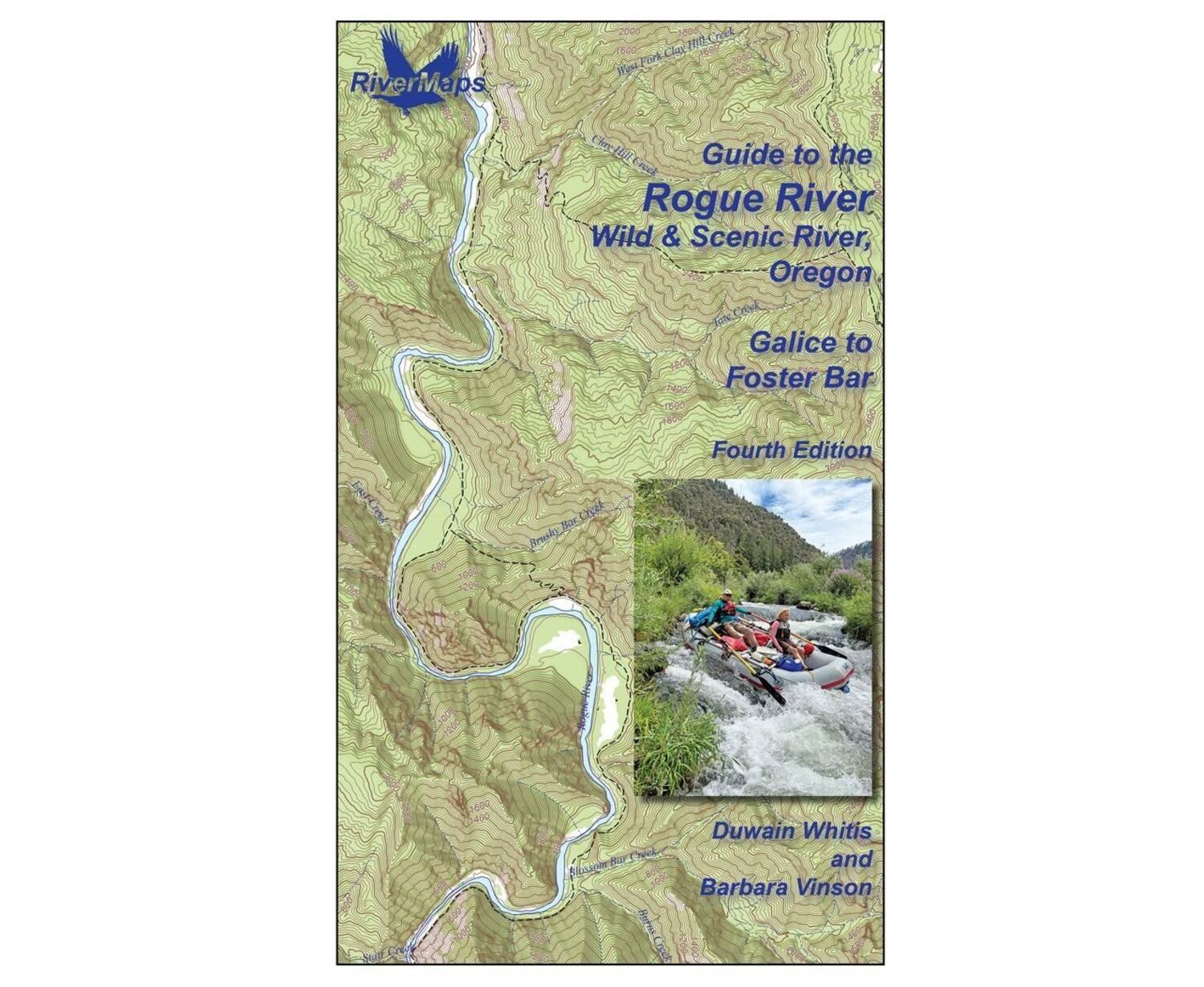
Rogue River Guidebook 4rd Edition
Available in store
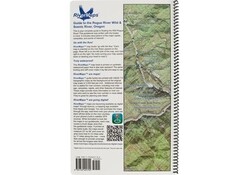
Close- This guide covers 43 miles from Galice, Oregon to Foster Bar, although longer or shorter trips are possible.
- Mile-by-mile information on rapids, campgrounds, geological features, historical sites and reference points.
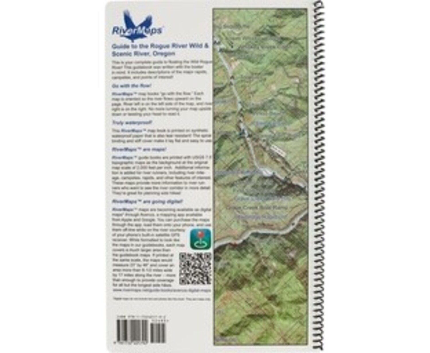
- With book in hand, maps read from bottom to top to match the downstream flow of the river.
- The topo maps are the same scale as the original USGS maps. The contour lines and accurate river shape enhance your ability to keep track of where you are.
- Printed on high-quality waterproof paper to prevent ink from smearing and is tear-resistant to keep your guide intact throughout the trip.
- Also includes information on history, geology, wildlife and plant life throughout the Rogue River basin as well as basic river trip etiquette, rules, regulations and shuttle directions.
Care of Your Books
You can write on dry plastic pages with an indelible marker like a Sanford Sharpie. If your offset printed map or guide book gets wet, don't worry! It can stay wet without damage. You will eventually want to dry it out with a rag or by turning and air drying each page. The pages usually won't stick, but... Don't cook your books! We have seen some books with pages that stick, especially where the ink is heavy over photographs. The only way we are able to reproduce this effect is to let a wet book dry for an extended time in the hot sun. You should avoid leaving your book in the direct sun or a hot vehicle or trailer for any longer than necessary. Day-to-day use in the sun while on the river has never been a problem that we've seen. Don't freeze your books! We have seen books that were wet and frozen lose some of their ink and underlying coating that holds the ink to the plastic page. If your book is wet and frozen, we suggest either letting it defrost or dipping it in the river for a minute to melt the ice and allow the pages to separate.
Authors: Duwain Whitis and Barbara VinsonCopyright: 2026
Size: 9"W x 14"H
Pages: 29