20%
Off
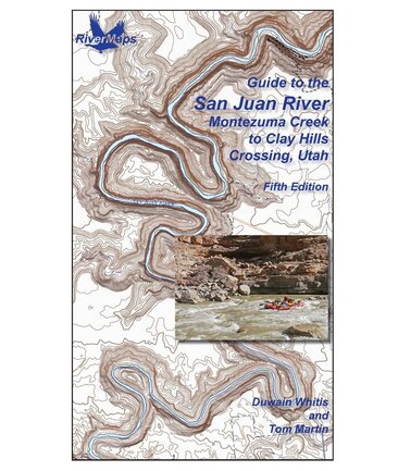
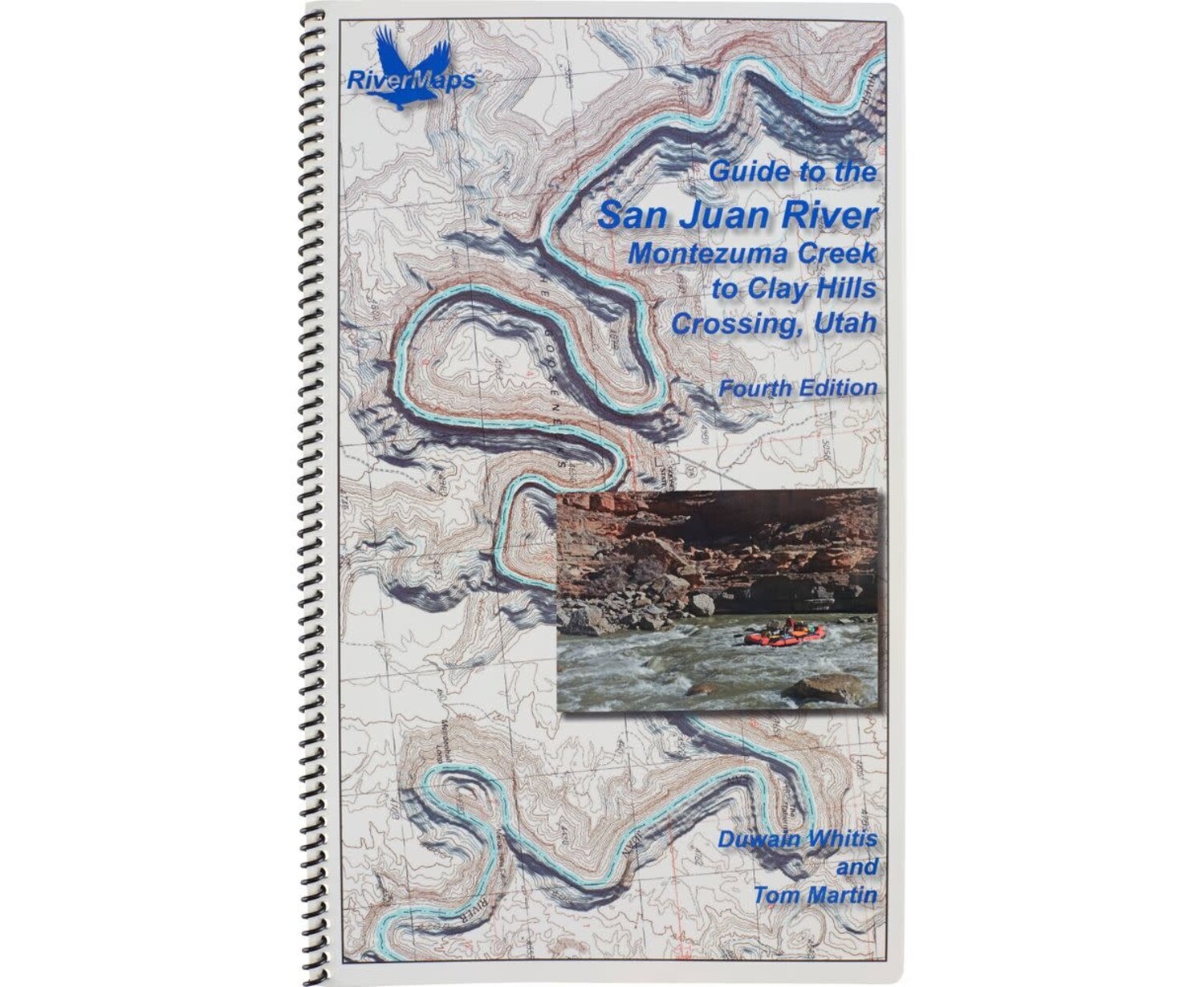
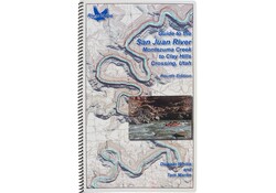
San Juan River 4th Edition Guide Book Closeout*
$29.95
$23.96
Availability:
In Stock (58)
Check Other Locations Availability
Available in store
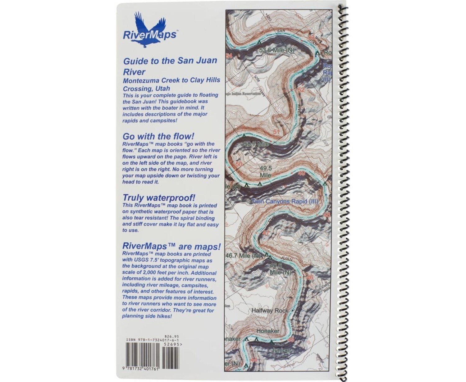
CloseWritten for boaters by boaters, the fourth edition of the RiverMaps™ San Juan River Guidebook includes mile-by-mile river descriptions plus info on side hikes and campsites. Spiral-bound and made with waterproof paper, it's your go-to, on-the-water compan
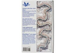
This guide covers 84 miles of the San Juan River from Montezuma Creek to Clay Hills Crossing including color photos with up-to-date data on camps and river features.
- Mile by mile information on rapids, campgrounds, geological features, historical sites and reference points.
- With book in hand, maps read from bottom to top to match the downstream flow of the river.
- The topo maps are the same scale as the original USGS maps. The contour lines and accurate river shape enhance your ability to keep track of where you are.
- Relief shading of the topo map offers a much clearer perspective of the terrain.
- Printed on high-quality waterproof paper to prevent ink from smearing and is tear-resistant to keep your guide intact throughout the trip.
- Spiral bound format with full color topo maps on the right side and complete text descriptions on the facing page.
Authors: Tom Martin and Duwain Whitis
Copyright 2021
Size: 9" x 14"
Pages: 37