RiverMaps Cherry Creek & Tuolomne River Guide Book
$21.95
Availability:
In Stock (3)
Check Other Locations Availability
Available in store
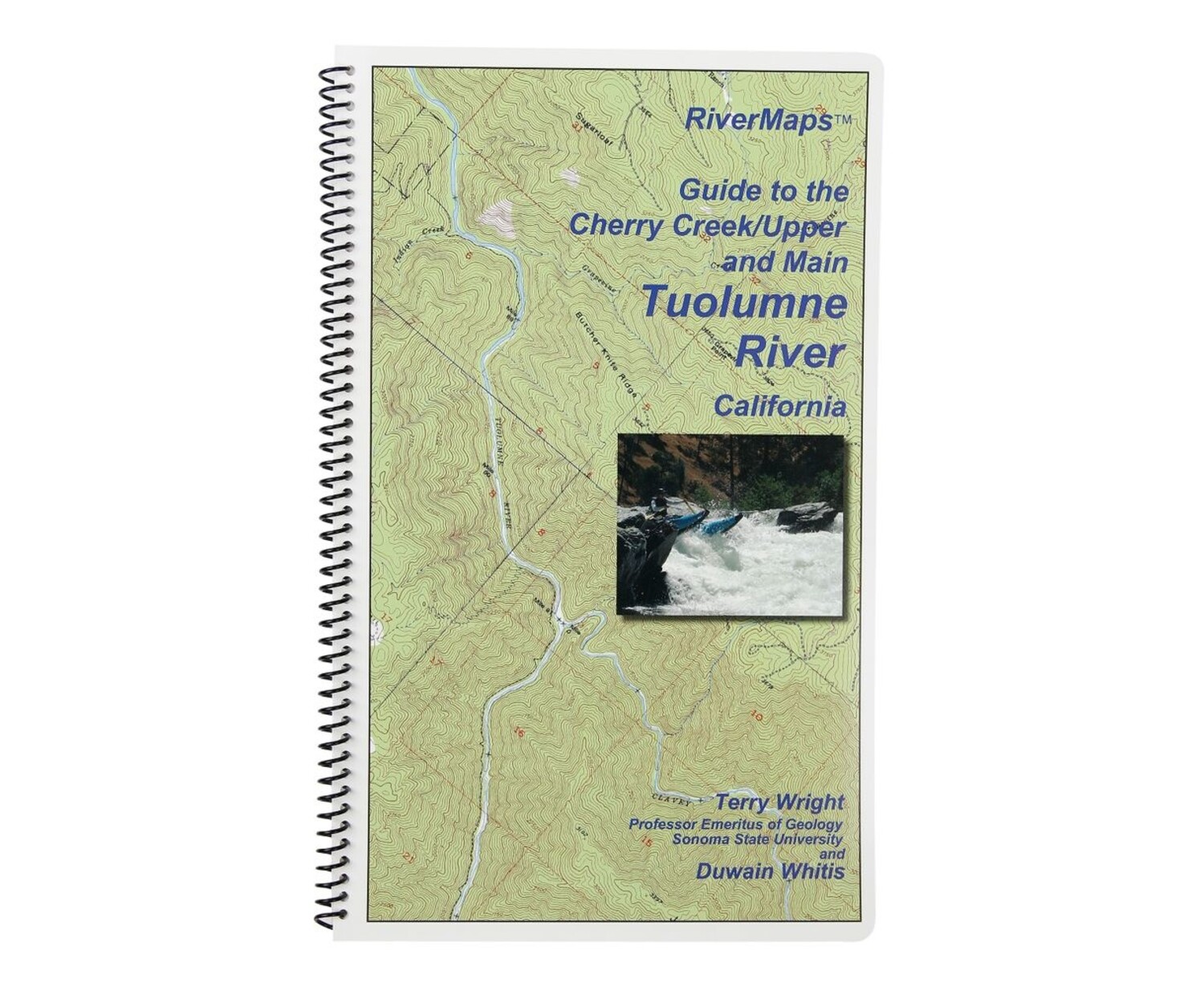
CloseRunning the "T" is a premier North American whitewater experience, but the fun is proportional to the complexity of logistics. This RiverMaps™ Guide gives you the info you need to get it right.
Product Details
Running the "T" is a premier North American whitewater experience, but the fun is proportional to the complexity of logistics. This RiverMaps™ Guide gives you the info you need to get it right.
Copyright: 2011
Size: 9"w x 14"h waterproof paper
Pages: 28
Map Pages: USGS 7.5" color topo reproductions
Scale: 2,000 feet per inch (1:24,000)
- Includes info on getting to the river, preparing equipment, shuttles, navigating rapids and year-to-year variables that could affect your trip.
- Covers the Cherry Creek, Upper and Main sections of the Tuolumne River.
- A favorite with river runners everywhere, RiverMaps guidebooks are a boating essential.
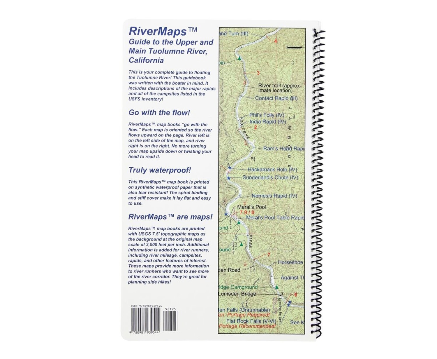
- Spiral bound format with full color topo maps on right side and complete text descriptions on the facing page.
- Excellent mile by mile information on rapids, campgrounds, geological features, historical sites and reference points.
- The topo maps are the same scale as the original USGS maps. The contour lines and accurate shape of the river really help you keep track of where you are.
- Features detailed descriptions of the Tuolumne's rich geological history.
- The high quality waterproof paper really stands up to the soaking it's going to get!
Copyright: 2011
Size: 9"w x 14"h waterproof paper
Pages: 28
Map Pages: USGS 7.5" color topo reproductions
Scale: 2,000 feet per inch (1:24,000)
Specs
| Subject Matter: |
|
|---|---|
| Subject Location: | West |
| Author: | Tom Martin & Duwain Whitis |
| Copyright: | 2011 |
| Size: | 9" x 14" |
| Pages: | 28 |
| Features: |
|