


We’ve converted our best-selling river guides of over 50 years into a Digital River Maps format so you can follow along and know exactly where you are.
Essential features include:
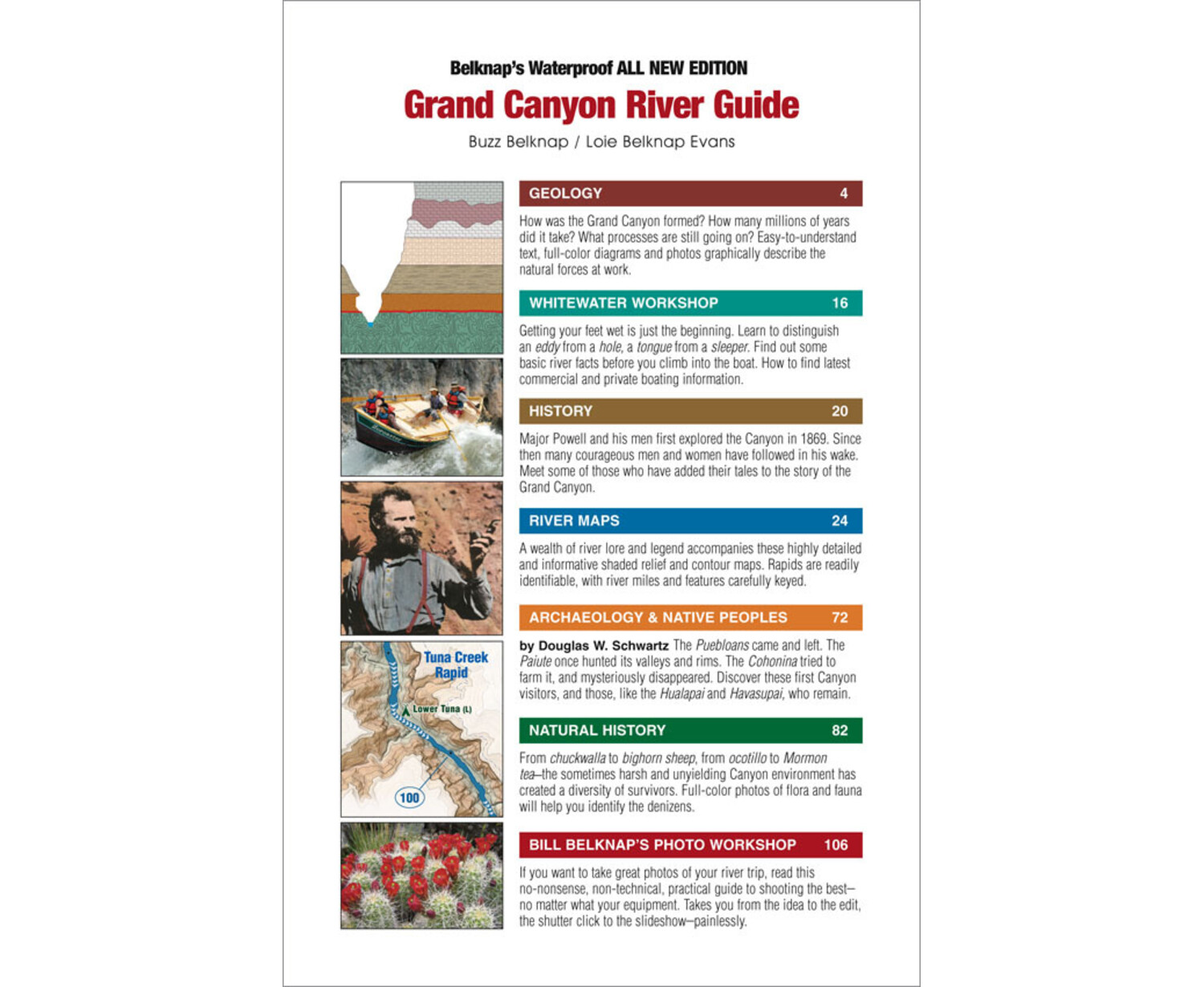
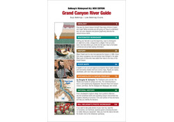
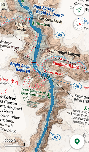
- Plan and navigate with confidence using Read-as-you-Run format, updated USGS mileage, and clear markers for rapids, campsites, hikes, river access points, and other points of interest.
- Track your exact location on the river in real-time (device permitting), drop pins to leave notes and photos.
- Popular campsites accurately marked.
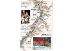
- Accurate river mileage and highly detailed, shaded relief/topographic maps to plan your itinerary and enjoy a quality user experience.
Whether a commercial or private boater or researcher, this map provides the information for a safe and enjoyable adventure. Download it today and discover the many uses of this digital guide for navigation, note-taking and photo record of your trip.
These comprehensive maps and guides, trusted by rafters, guides and outfitters for over 50 years!
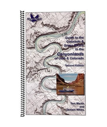
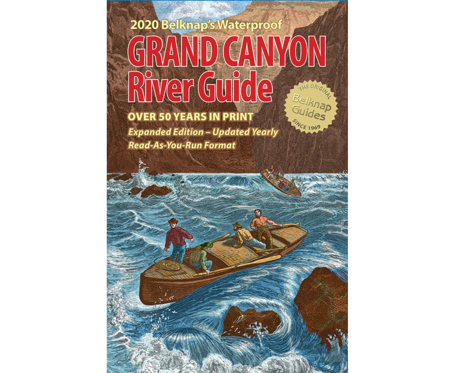
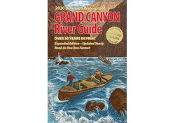
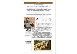
 Belknap’s Grand Canyon River Guide Belknap’s Grand Canyon River GuideExplore the Grand Canyon like never before with our best-selling river guide, now in a digital, interactive format! Experience the full Colorado river journey, from Glen Canyon Dam to Lake Mead.  |